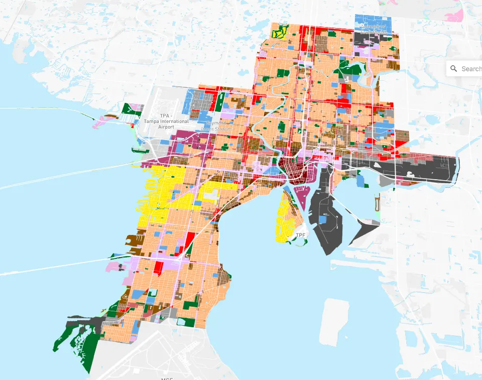
The city has a great collection of GIS data however they do not have a Future Land Use map as that’s mainly Hillsborough Planning Commission. Below is my initial solution that allows you to toggle the Future land use and current zoning layers (click the eyeball next to the layer in the bottom left corner. Please note this map is meant for general reference and while I attempt to use current data, there may be a lag between updates.
Future Land Use data: Current to Quarterly Update: September 1, 2025
Current Zoning data: Current to October 25, 2025
If you find this useful, please consider support the work of Tampa Monitor.
Make a Donation
Help keep the machines running and the Café con leche flowing.


